A New Threat Necessitates A Fast Response
Rapidly Responding to a New Reality
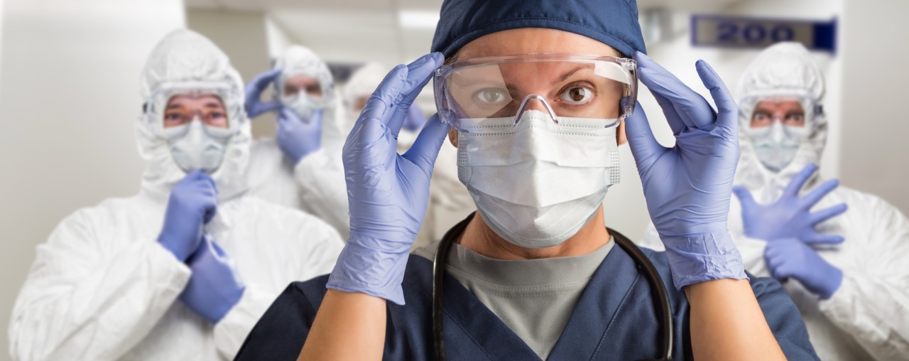
Across the country common sense and executive orders are mandating all non-essential workers to stay at home. There is a long list of industries and professions that are exempted, like public safety and medical workers.
Functioning critical infrastructure is an imperative during the response to the COVID-19 emergency. Certain industries have a special responsibility in these times to help maintain and expand operations. Surveyors, and firms providing 3D mapping services, are essential businesses necessary to maintaining and upgrading critical infrastructure. Read more.
Prudent measures needed to prevent the spread of the virus, such as limiting gathering size, would still apply to essential business. And while survey field work and 3D mapping can continue with low risk, there are technology solutions to make the work even safer, for both the worker and the public. I am speaking of 3D mobile mapping systems for rapid and accurate data capture. The use of these systems can reduce the potential exposure time and provide faster access to data for time critical applications, like the conversion of commercial building spaces to temporary hospital and recovery facilities.

This article focuses on hardware solutions that address rapid response data collection requirements. Also covered is a software solution that can process and publish the data quickly into the hands of decision makers. The first hardware solution comes from GeoSLAM in the form of the ZEB Revo RT medium-range data capture system. The Revo RT 3D mobile mapping system is designed for rapidly mapping building interiors, like potential commercial buildings targeted for conversion to temporary hospital space. An entire floor can be mapped and converted to 2D plans or 3D models very quickly.

The GeoSLAM ZEB Horizon combines the same rapid capture with long range. The Horizon with a new car mount, or the ZEB Locate, a backpack configuration with GPS, would allow surveyors to map large areas like a campus setting or a convention center rapidly, and from a safe distance. With the car mounted Horizon, a single surveyor can safely map the entire street of a potential water-main break and upload the data to the office for processing and analysis.

The DotProduct DPI-10 handheld 3D scanning device is designed for shorter range applications like mapping the mechanical services area of the proposed temporary hospital. The DPI-10, powered by DOT3D software, now captures both interior and exterior spaces, and delivers accurate, high-resolution, color scan data in minutes. Export to Dropbox and the data is available in the office in minutes.

Bloom Cloud Engine is a new way of working with point clouds where you can manipulate points like objects, group them like layers, integrate with CAD, and publish in minutes. There are two components, the desktop point cloud application and Bloom Explorer, an On-Premise or cloud hosted solution. BloomCE is ideally suited to importing data collected by different systems like GeoSLAM, DotProduct and others. The data can be registered and then combined with CAD 3D models or 2D plans. The edited data can then be published for browser access by response teams around the country.

The combination of these solutions would allow engineering/architectural response organizations to send teams to the field in the morning to collect data, and Dropbox data back to the office. From there, a quick point cloud edit would remove existing fixtures. The 3D concept model for the new hospital room layout would be dropped in and analyzed. By evening, the results could be published for virtual review by teams in different locations.

If you have any questions on the products and workflows discussed here, please e-mail us at help@point3D.com or call us at (800)616-1003. If you are looking for assistance with service, ask about our Qualified Service Partners.
You can also contact our partners at the following links: Bloom Technologies, DOT Product, and GeoSLAM.
Channel Sales (US West) at FARO Technologies (GeoSLAM)
4yThanks for posting! This is well written and on the nose for the COVID-19 pandemic.